
-
Blue river trail: A perfect first-timer MTB trail.
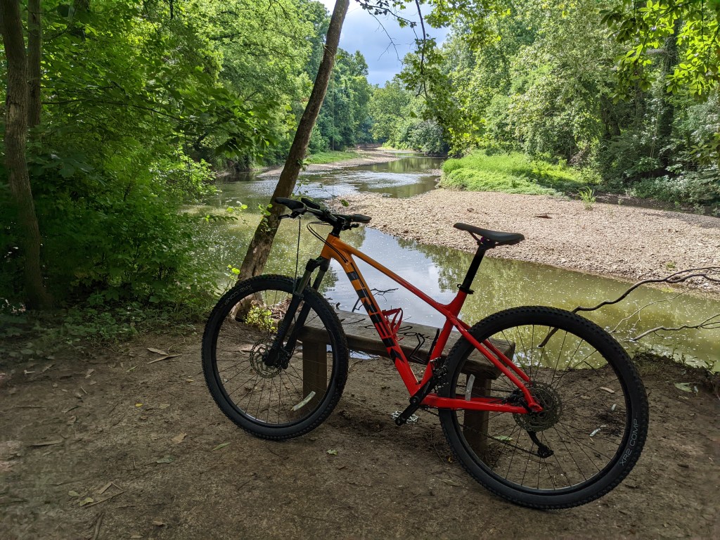
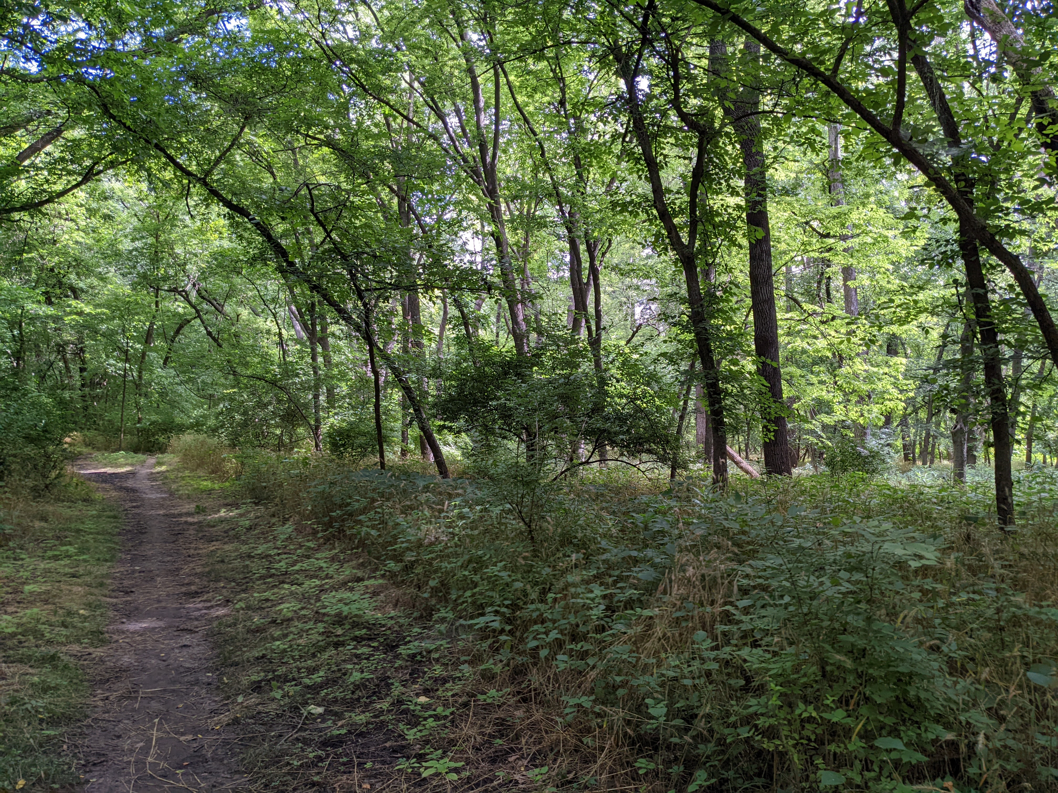
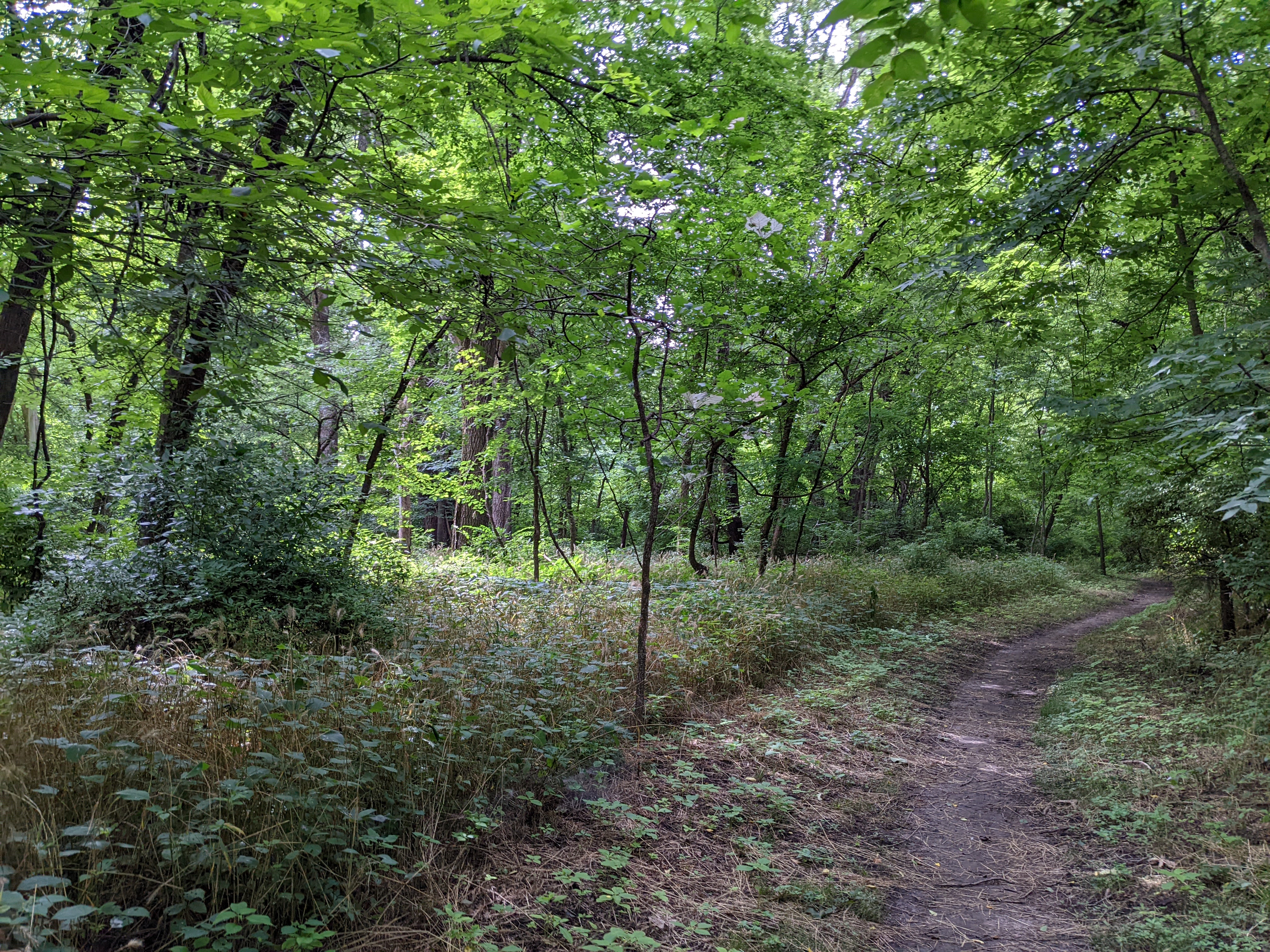
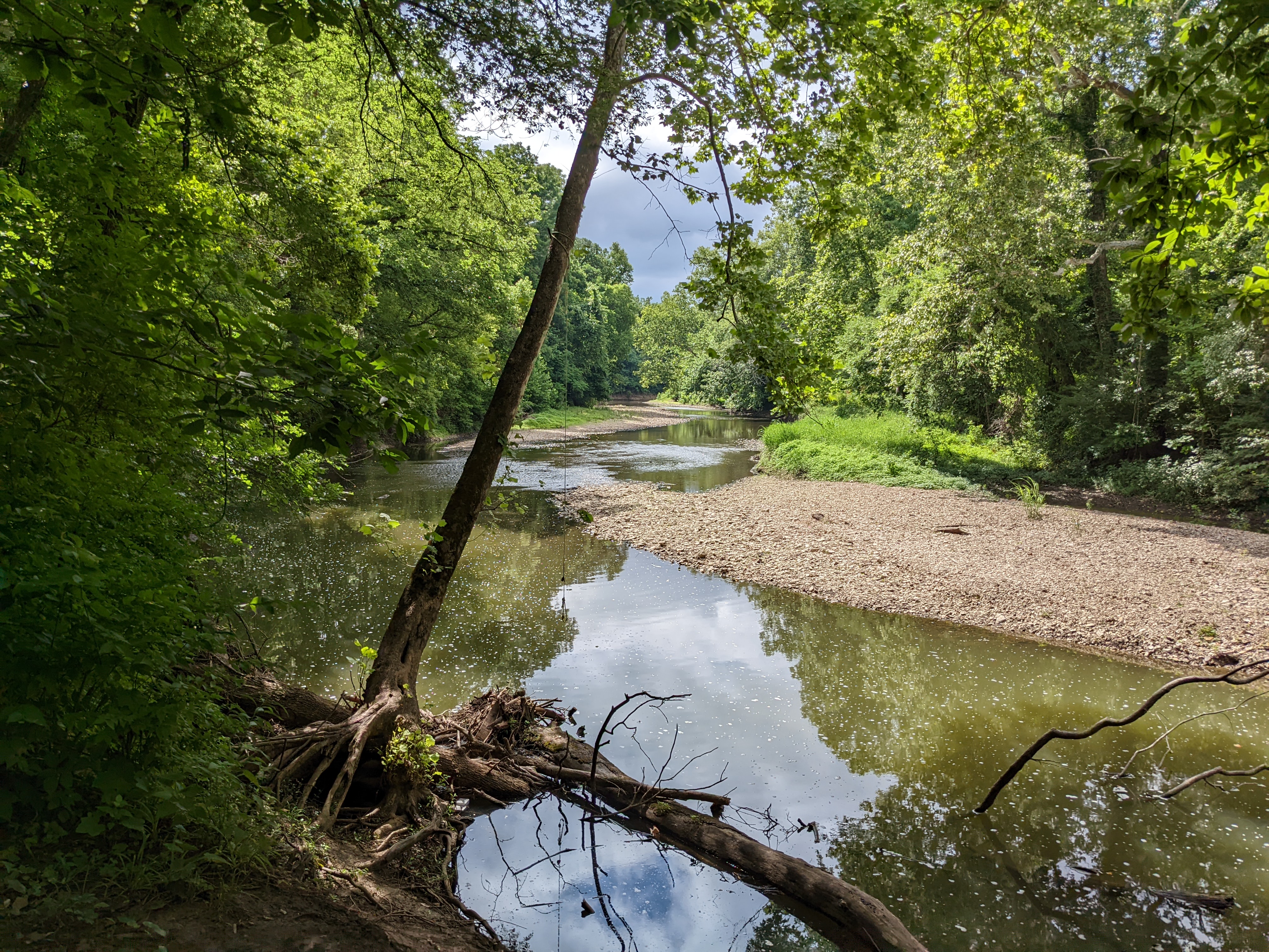
If you’ve got a friend who you’ve been aching to get to go on a mountain bike ride with you, just showing them a few pictures of Blue River is an easy way to convince them. The east side of the river runs with trails fitting for all skill levels. Just pick a trail head off one of the many parks on Blue River road and see what you can find. The south side of the park specifically boasts two trails that are so comfortable as to double as hiking trails as well. With gradual undulating hills and some fun dips and switch-backs the trail is a good challenge for new riders. Even if you don’t find the trail especially difficult the view is excellent. With many similarities to the rocky creeks and rivers of central MO.
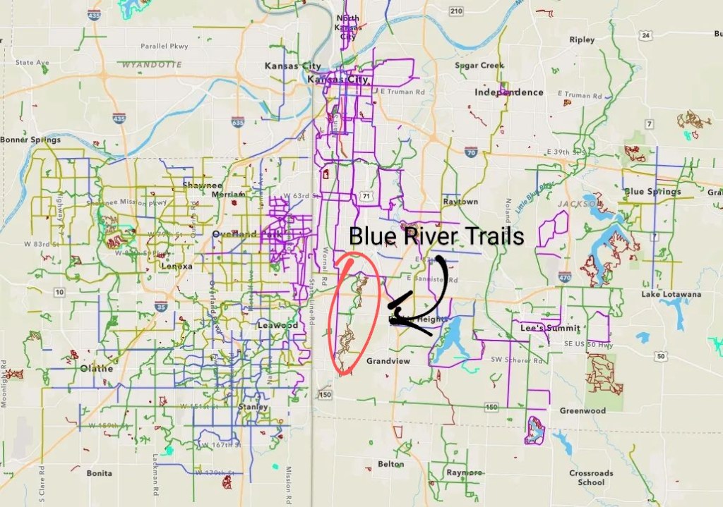
Blue River Trails sit at south Central MO 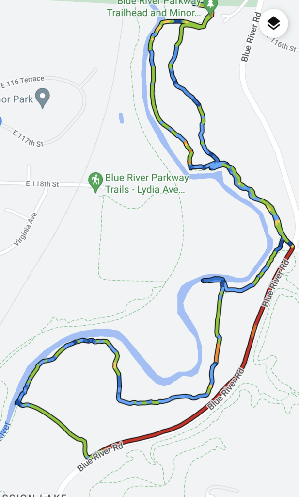
The river trail, highlighted here in blue, runs next to blue river and Blue River Rd (in red) 
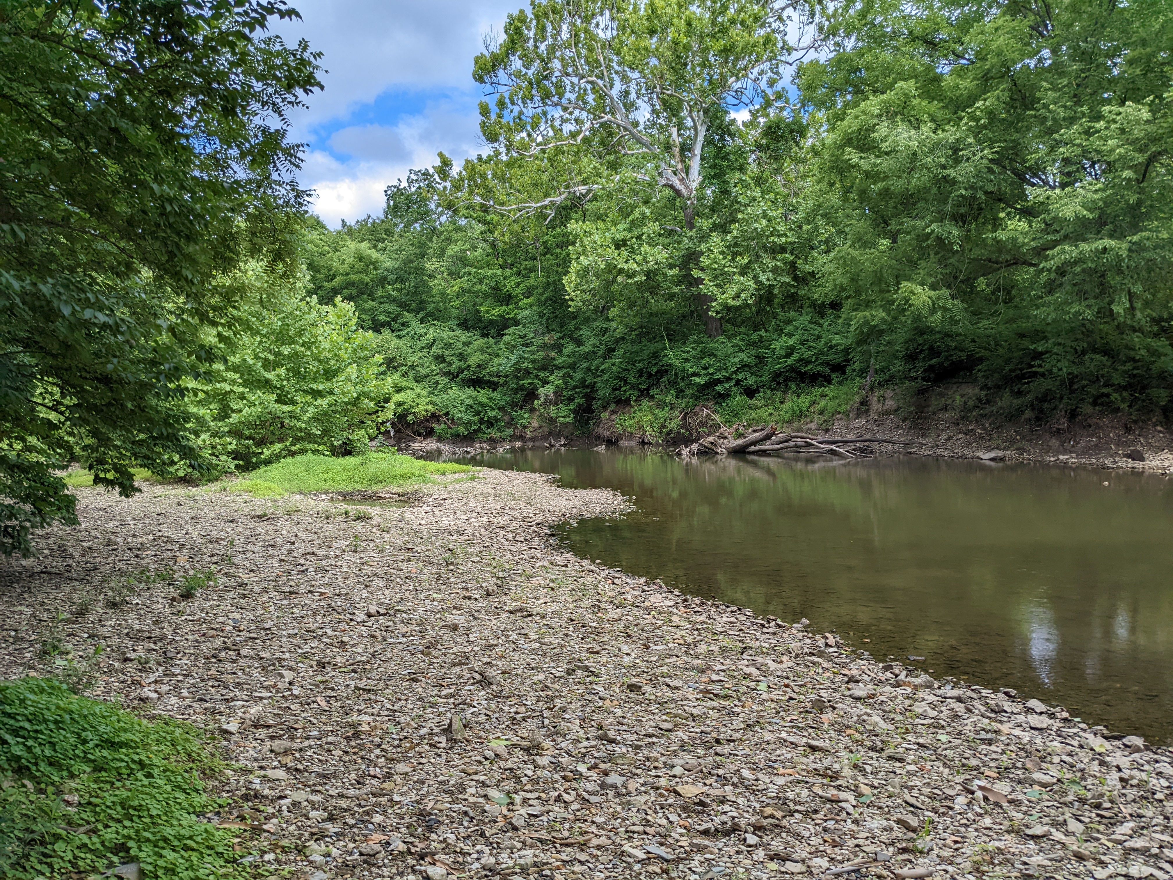
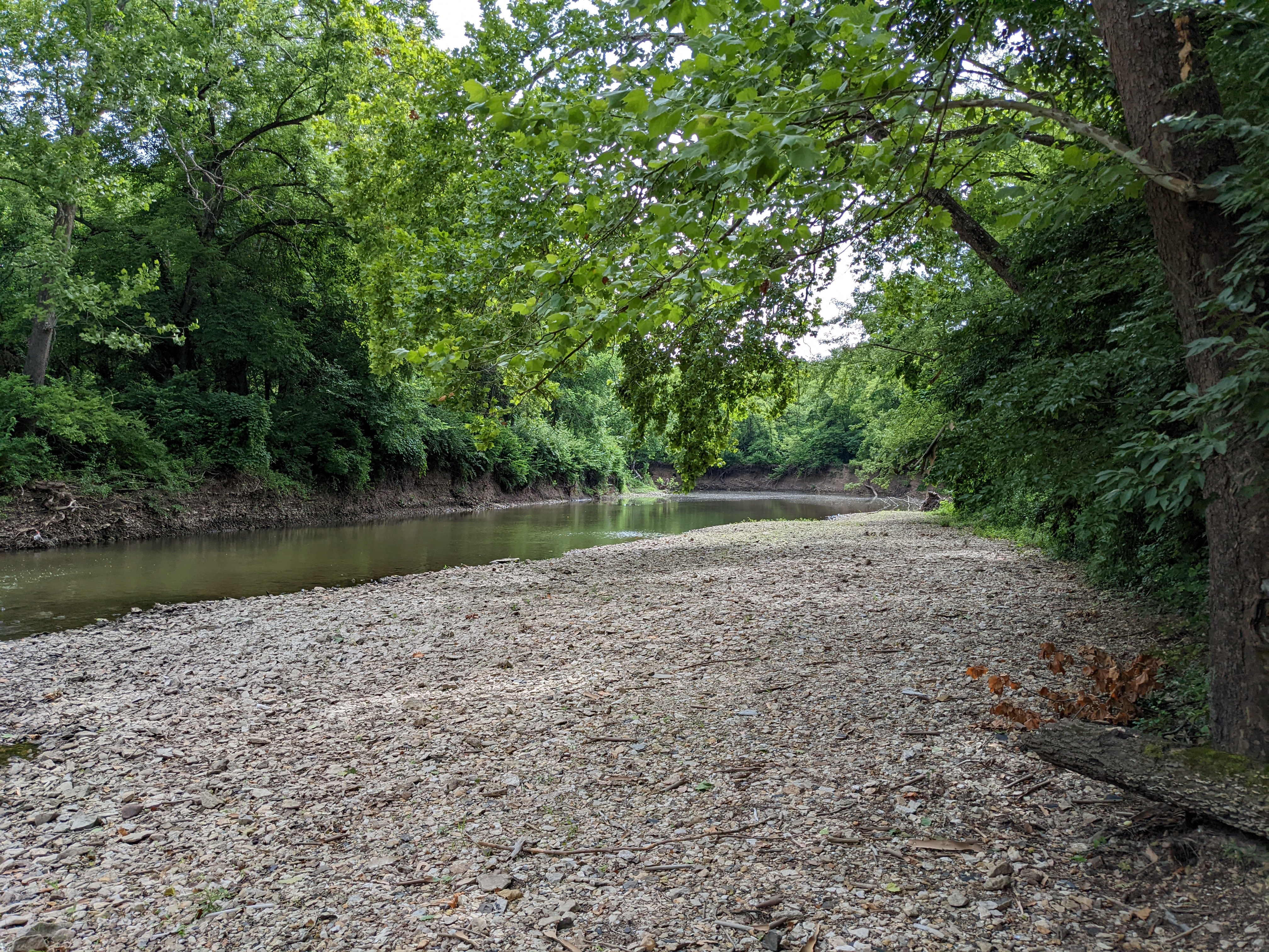
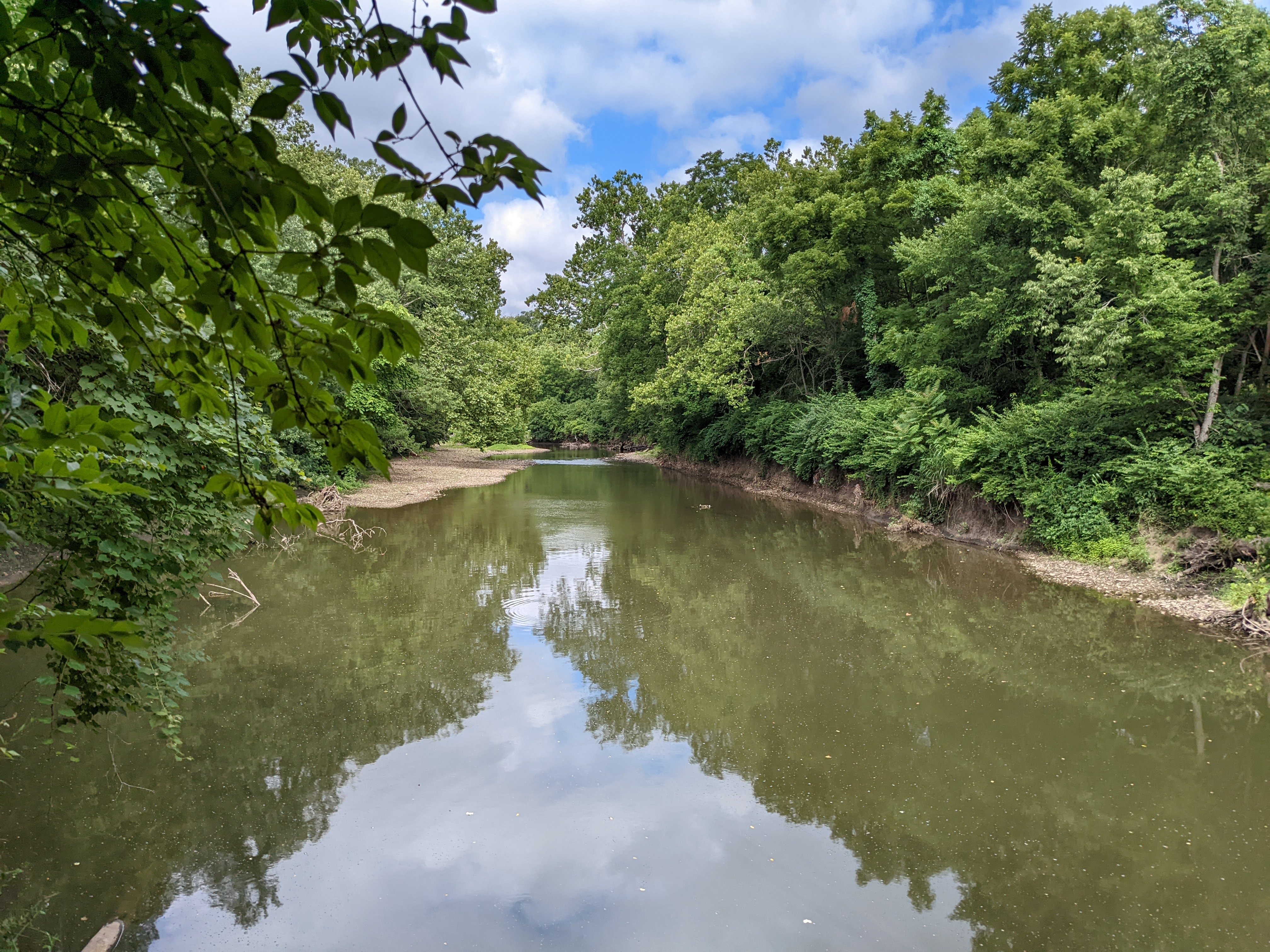
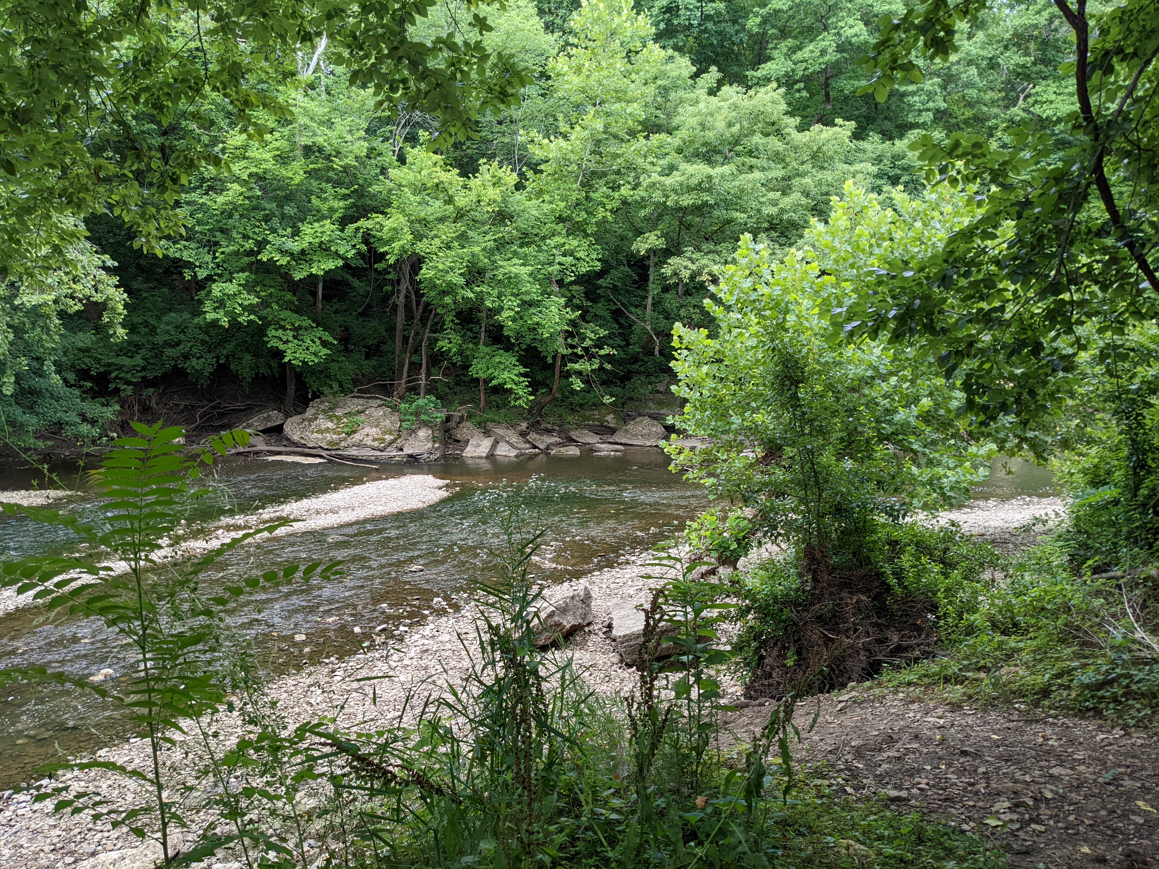
The trail head marker with the trail system noted. The trail network runs for miles north – south along the little blue When visiting Blue River Trails consider taking some water clothes with you, as there are plenty of places to wade into the Little Blue (note that the river may not always be safe for it depending on water levels) and enjoy the creek. Beautiful photos are easy to find here too with every bend…
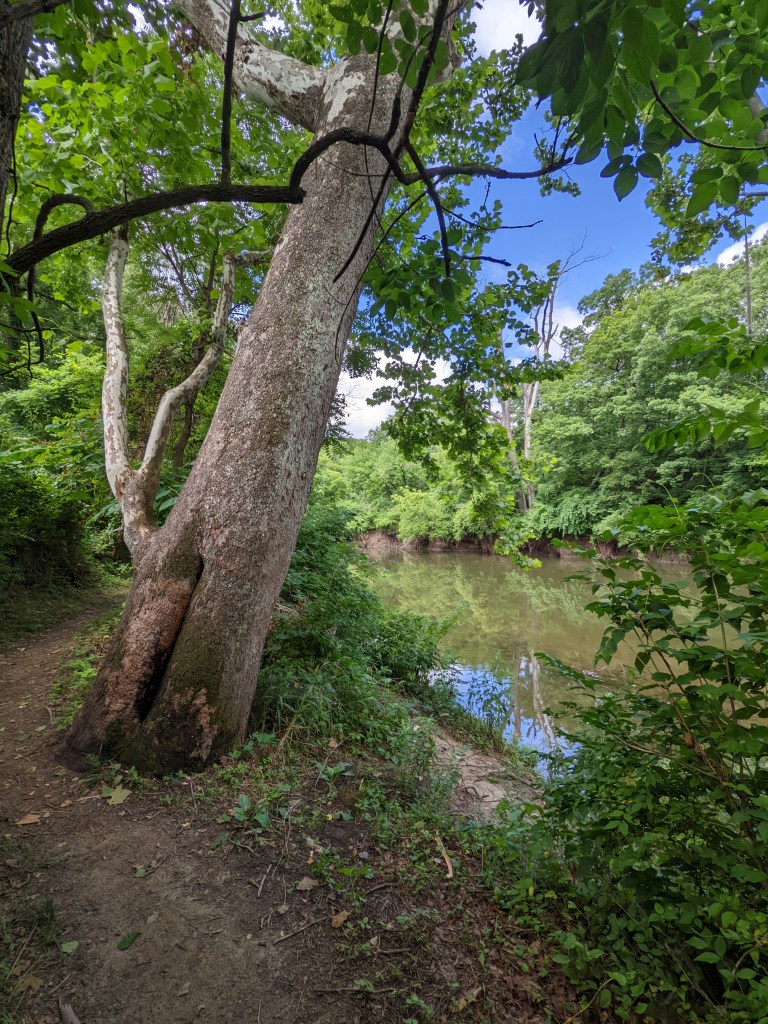
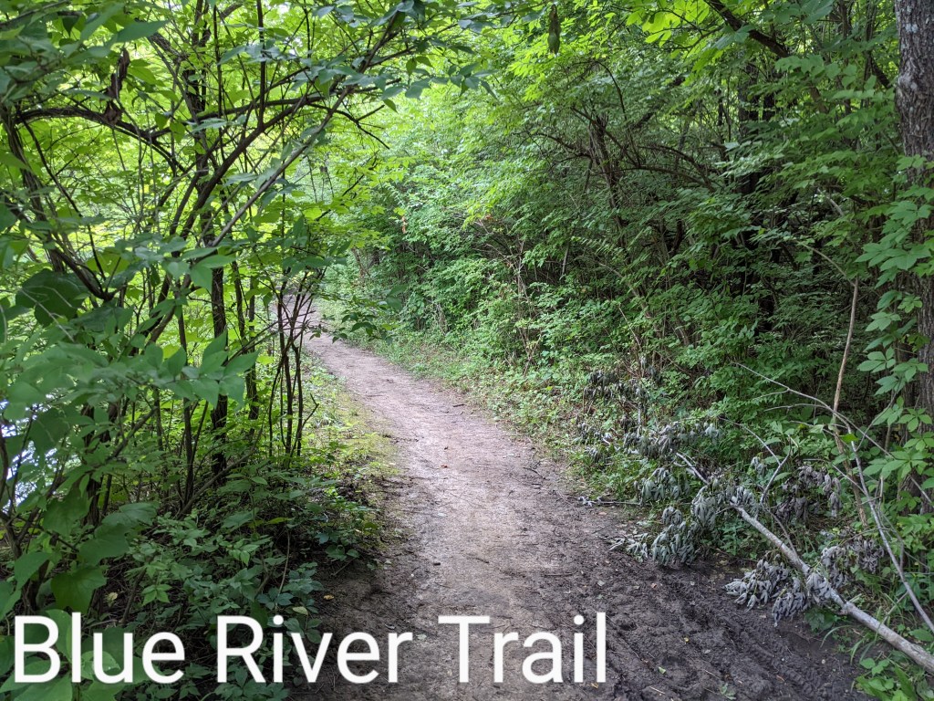
A segment of the River trail with a great view 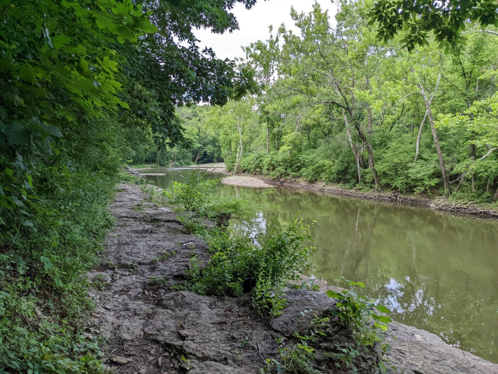


Accessing the trail
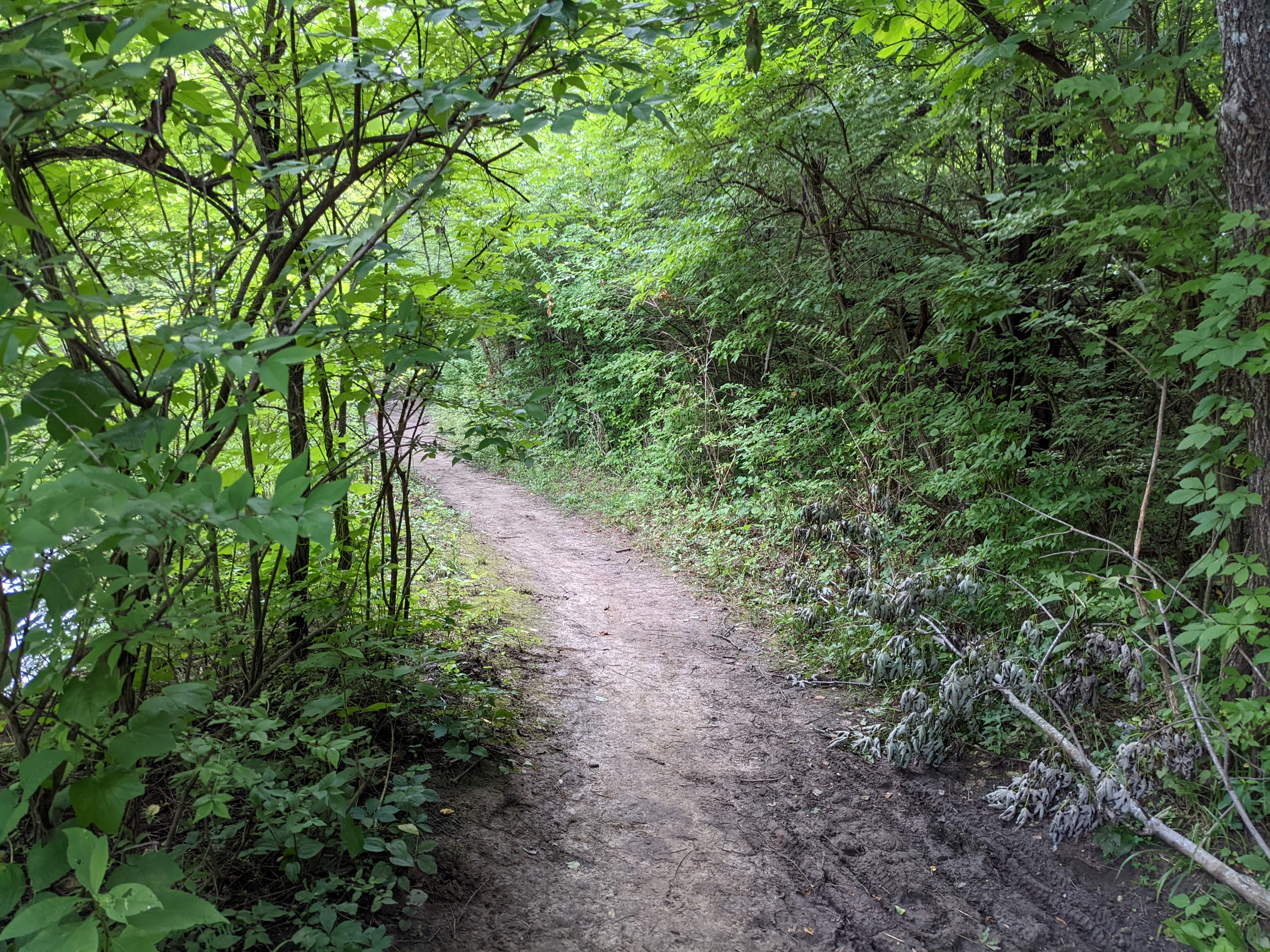
Most segments of the trail can be accessed along the little blue. If you are looking for the river segment specifically exit at the tennis courts and look for an understated path on the northwest side of the parking lot.
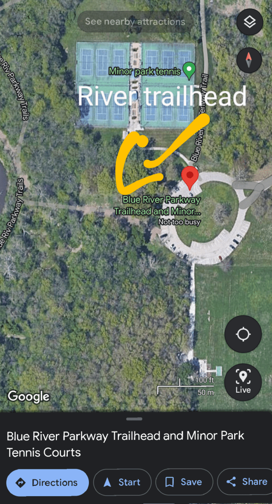
It’s easier to see the trail when there are less cars. Look at the spot noted to find it. 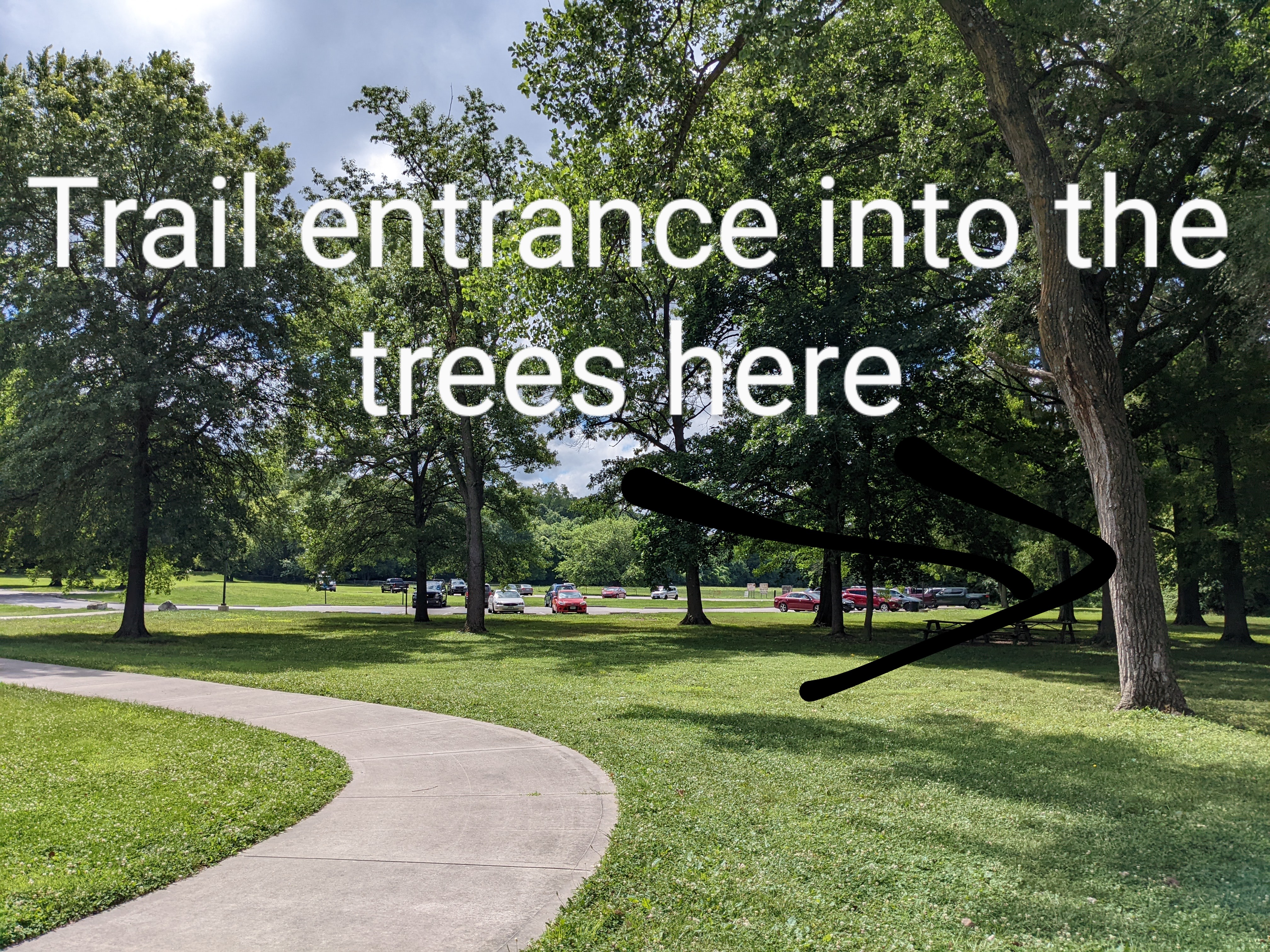
Looking away from the tennis courts you can find the entrance to your right 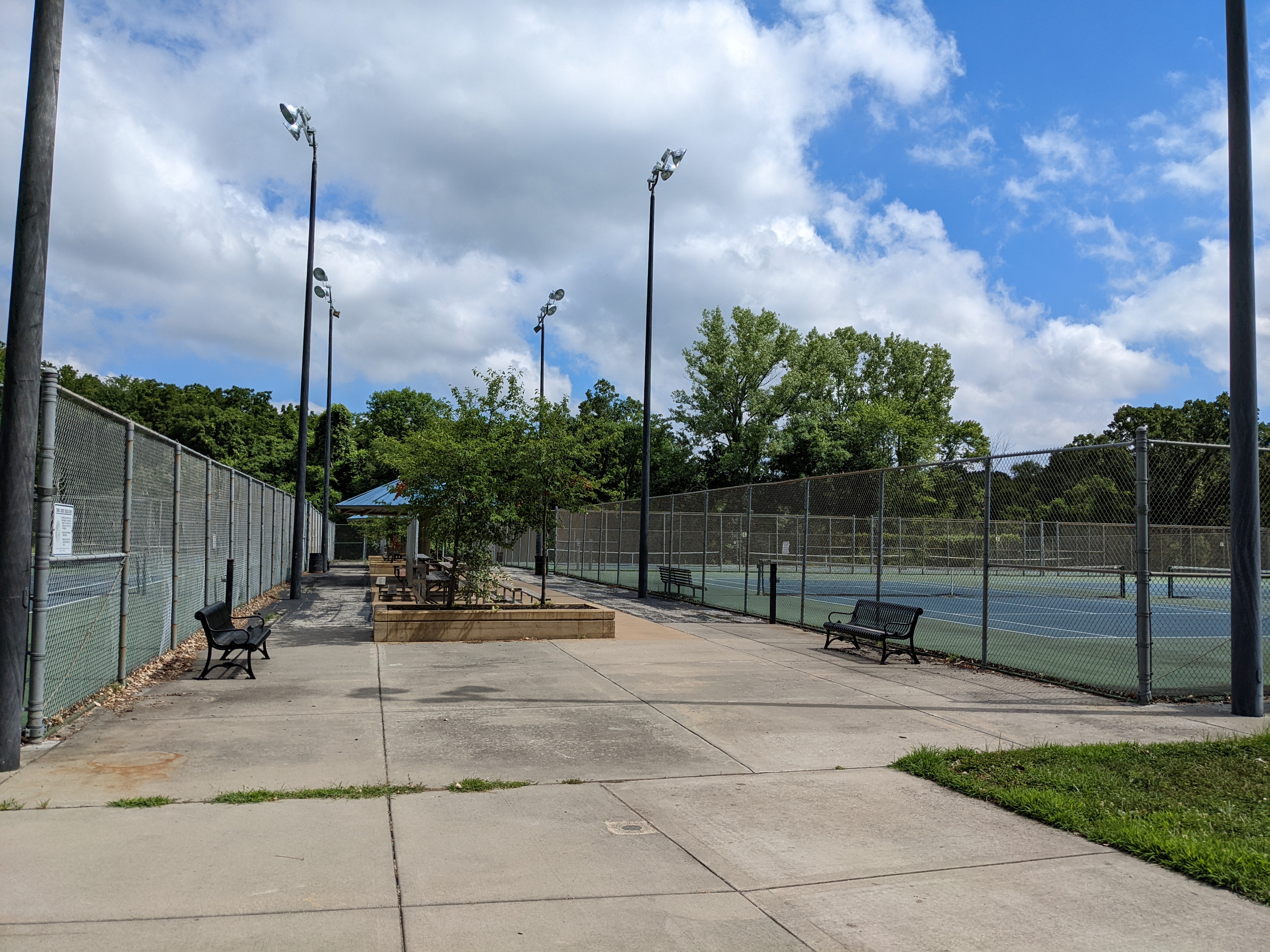
Looking at the Tennis courts the trail entrance is directly behind you in the grass What do you think? Have you ridden the river trail or BR trail system? Share your experience in the comments or on facebook @kccyclingnews
Happy riding!
Tim
-
KC Regional Trail Map
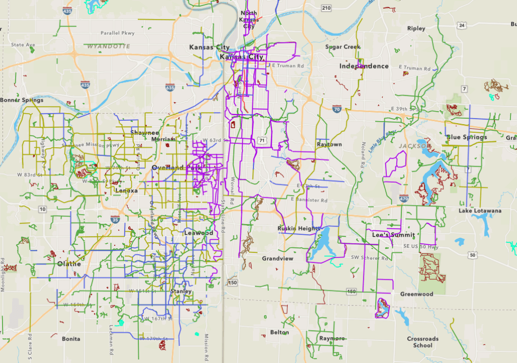
Have you ever wished for a regional map that shows the location, type, and purpose of trails in the KC metro area. Did you know that this trail map exists?
ARCGIS is a tool used for surveying and land tracking. Kansas City keeps a record of all trails in the metro area along with their type and intended purpose. If you are in the KC metro and looking for a place to ride this can be a great resource.
Do you see your favorite trail on this map? Did they miss something? Leave a comment with your favorite trail!
Thanks for Reading!
-
Wirelessly Send Ride With GPS to Garmin Edge
Hey Friends! Here’s a short video on how to transfer your favorite Ride with GPS route to your Garmin Edge 500+ series bike computer without connecting it to your computer.